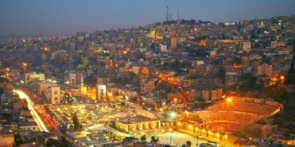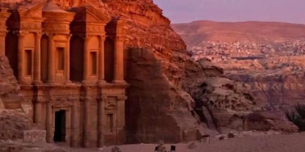


Karak lies to the south of Amman, on the King's Highway. It sits 900 m above sea level commanding a magnificent view of the Dead Sea. The city today is home to around 170,000 people. Karak has been inhabited since at least the Iron Age, and was an important city for the Moabites (called Qir of Moab) period in the first millennium BC. While the castle we see today essentially dates back to the 12th century, Karak has been a fortress since biblical times.
In ancient times, the region immediately to the east of the Dead Sea was known as Moab, of which Karak was an important city. The earliest reference to the people of Moab appears in two inscriptions from Luxor (upper Egypt, ca. 1279-1212 BC). The Old Testament also refers to the people who lived east of the Dead Sea as Moabites.
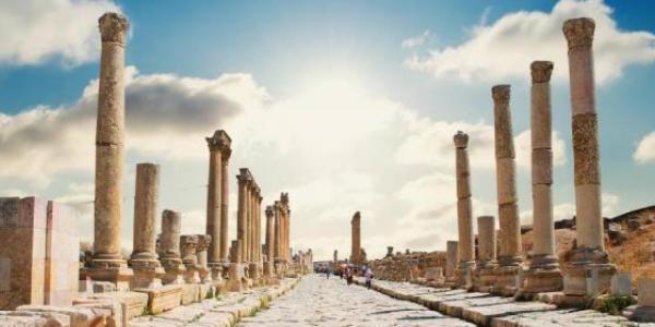
During the late Hellenistic Period, Karak became an important town as was known as Kharkha. Under the Byzantine Empire it was a bishopric, containing the much venerated Church of Nazareth, and remained predominantly Christian under Arab and Islamic rule.
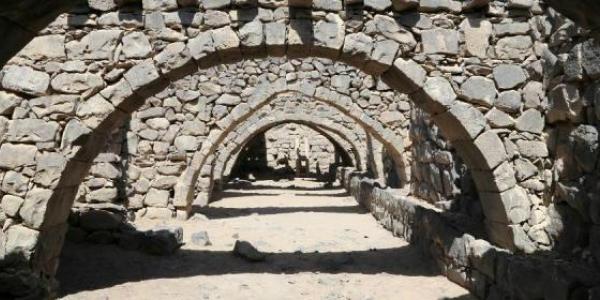
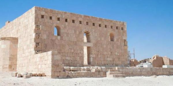
Karak then came under the rule of Reynald of Chatillon, for Reynald’s peacetime robbery of a large caravan in 1177 triggered the fast retribution from Saladin -who attacked the Crusader kingdom– and ended in defeating the Crusader army at the Battle of Hittin. Under the Ayyubids and early Mamluk sultans, the castle was substantially renovated and the town’s fortifications were strengthened with massive towers, where access to the town was through subterranean passages. Karak flourished under Mamluk rule and became a center of learning and industry during those times.
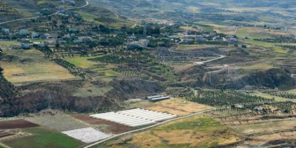
Because of its position east of the Jordan River, Karak was able to control Bedouin herders as well as the trade routes from Damascus to Egypt and Mecca.
Weather forecast from yr.no, delivered by the Norwegian Meteorological Institute and the NRK