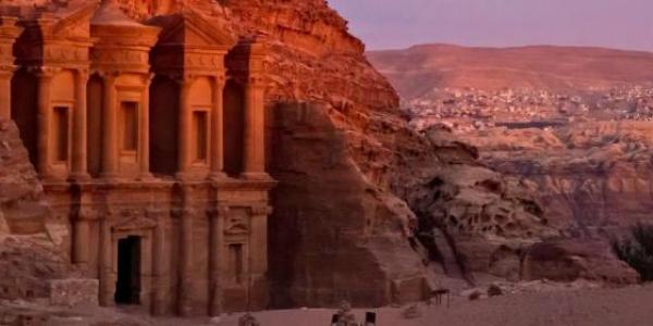


Jerash lies on a plain fertile basin. It was settled and built in the early second century BC, most likely under the Hellenistic Seleucid Kings. It came under Roman rule and was conquered by Pompey in 63 BC, and became one of the ten great Roman cities of the Decapolis League. The city received the visit of Emperor Hadrian in 129 AD and raised a monumental Triumphal Arch south of the city. It prospered and reached its peak at the start of the 3rd century AD when it was bestowed with the rank of Roman Colony. As the 3rd century progressed, the main route for commerce changed and Jerash fell into decline.
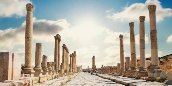
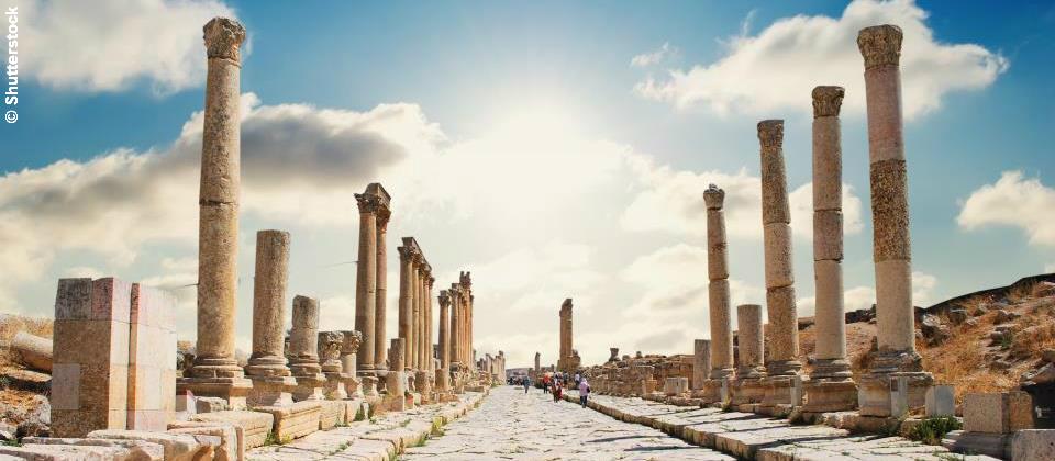
The city's golden age came under Roman rule, during which time it was known as Gerasa, and the site represents one of the best-preserved Roman provincial towns in the world. It has been excavated over the past 90 years and restored. Jerash boasts a fine example of provincial Roman urban site in the Middle East, comprising paved and colonnaded streets, hilltop temples, theatres, public squares and plazas, baths, fountains and fortified city walls. The city also boasts well-preserved monumental architectural edifices: the Monumental Gate, the Nymphaeum, and the Hippodrome. The city wall with four gates is still preserved in many places. The city also has an underground sewage system. Its architecture, religion and languages reflect the coexistence of two powerful cultures -the Greco-Roman world of the Mediterranean basin and the traditions of the Arab Orient.
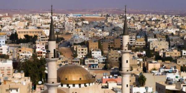
By the middle of the 5th century, Christianity had become the major religion of the region and numerous churches were constructed in Jerash. There are 18 churches, most of which have mosaic floors from the Byzantine period. An Umayyad apartment house was also discovered in the excavations carried out at Jerash. It is about 600 m2 with separate housing units sharing the same courtyard. A powerful earthquake in 749 AD seriously damaged the city and hastened its decline. The Crusaders even described Jerash as uninhabited and it remained abandoned until it was resettled in the late nineteenth century.
The earliest Arabic/Semitic inhabitants named their village Garshu. The Romans later Hellenized the former Arabic name into Gerasa, and at the end of the 19th century, the Arab and Circassian inhabitants of the then rural settlements and the later modern city of Jerash which lies to the east of the present ruins, transformed the Roman Gerasa into the Arabic Jerash.
Weather forecast from yr.no, delivered by the Norwegian Meteorological Institute and the NRK